
Sacred Texts Legends & Sagas England Index Previous Next
Mark stones may be on one side of the track, as are the whitewashed stones which mark a coastguard's cliff walk to-day. But there also appear to have been sighting points of stone exactly on the ley, so constructed as to indicate its direction.
The Four Stones near Harpton, New Radnor, are four upright boulders (see Frontispiece) in an irregular quadrangle, and no one has explained their purpose.
I took sighting lines over successive pairs of stones, five lines being possible, and although the work on the map is not yet completed, I can definitely say that the "Four Stones" are directing posts which point out at least two leys, proved by passing through other good points. The first goes to the highest point in Deerfold Forest (The Camp, 940 ft.) in one direction, and in the other through The Folly and on the main road at Llanvihangel-nant-Melan, over Bryn-y-Maen Hill, here appearing to strike another "four stones," and through Llansaintfraed in Elvel Church to some peak beyond.
The second ley starts from Bach Hill (one of the highest parts of the Radnor Forest); through the Four Stones, dead on main road through Walton village, dead on main road past Eccles Green, through Upperton Farm and Kenchester Church, and dead on the present road which is the S.W. boundary of the Roman station of Magna; then going over the Wye through Breinton Church.
Bitterley Churchyard Cross has a circular hole through its shaft at a convenient height for sighting. Mr. J. C. Mackay kindly had the exact direction of this taken for me by sighting compass. It is 28½° E. of Magnetic N., and this on the map exactly strikes Abdon Burf (or Barf), the high point (1,790 ft.) of the Brown Clee. Southwards the line runs through Stoke Prior and Hope-under-Dinmore Churches, is confirmed in other ways, and goes over the Wye at Belmont House.
Bitterley Cross is of 14th century date; it must be the successor of a sighting stone which in some way pointed the direction of the ley, and it suggests that sighting along a ley had not-quite died out by the 14th century.
These two proved instances of sighting stones, together with the cases of stone rows on Dartmoor, and sighting columns on Sutton Walls, will give the clue to the hitherto unknown purpose of many important ancient stone monuments.
It is probable that the flat face of a mark stone, as in Wergin's Stone (Plate X.), pointed out a ley. There is a Dial Post near Tewkesbury which, with the Dial Carreg near Cwm-yoy, seems to denote the above purpose, and the last stone is an upright shaft of rectilinear shape like the supposed cross at Capel-y-fin (Plate X.).
Click to enlarge
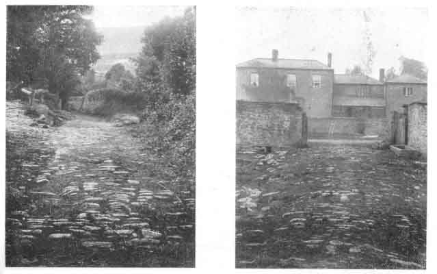
PLATE VII. CAUSEWAYS.
|
1. Over Olchon Brook, Longtown. 2. To Centre of Pond, Ingestow, Ross. |

Click to enlarge
PLATE VIII. LEYS DISPLAYED.
|
1. Track Climbing Ridge, Llanthony Abbey. 2. Straight Wye-side Causeway, Bartonsham, Hereford. |